|
Reported Crop Circles for the State
of South Dakota -
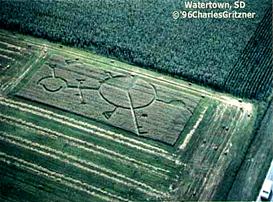
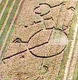
Watertown, Codington County (August 8, 1996)
A complex formation of flattened areas and pathways 160' by 100' in diameter. W.C. Levengood noted significantly expanded nodes from formation samples.
 
Crop
type: wheat
Source: W.C. Levengood
Photos: Charles Gritzner
|
|
City
/ County / Date:
- Eagle Butte, Dewey County
(July, 1990)
- Leola, McPherson County
(early August, 1990)
- Clark, Clark County
(September 8, 1992)
- Fort Randall, Gregory County (June 30, 1996)
- Watertown, Codington County (August 8, 1996)
- Menno, Hutchinson County (September 9, 1999)
|


